|
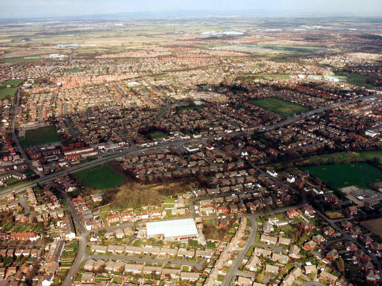
A View of Penketh taken from just behind Bolting's looking over the main Road towards Great Sankey. The large white building at the bottom centre is Bolting's The field on the far right is Penketh South playing fields. | |
|
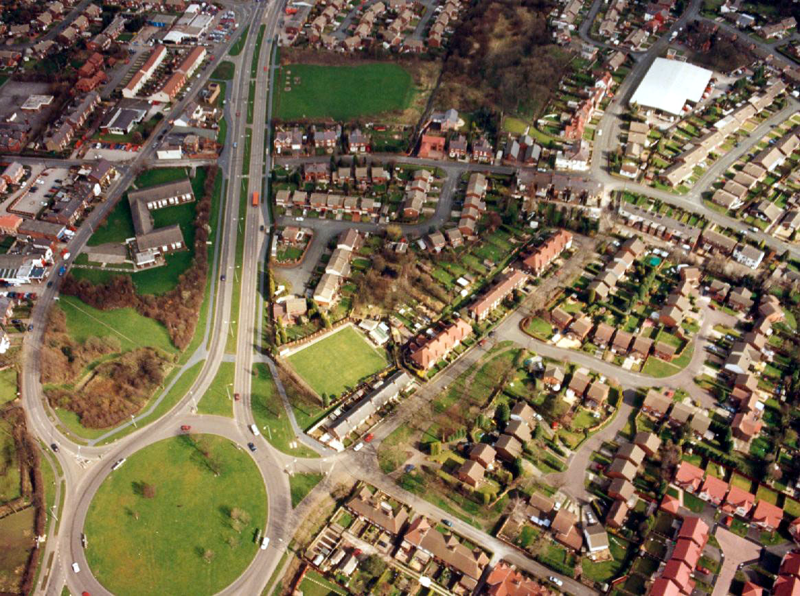
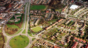
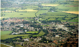
West Penketh, in the centre of this picture is Penketh bowling Green, with Tragan Drive. Withenshaw Playing Ground is in the centre to the top of the picture. |
| |
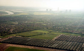
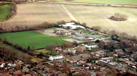 |
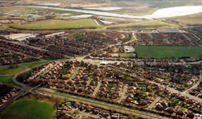
A View of Penketh South and St. Vincent's Schools with the fields of Ditchfield's Farm in the background. These fields are about to be destroyed by a housing development of 300 houses. | |
|
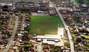
Penketh Primary school on Stocks lane, the old junior school buildings are now up for redevelopment, Savoy Honda is to the top, left of this picture. |
| |
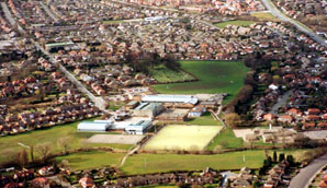 |
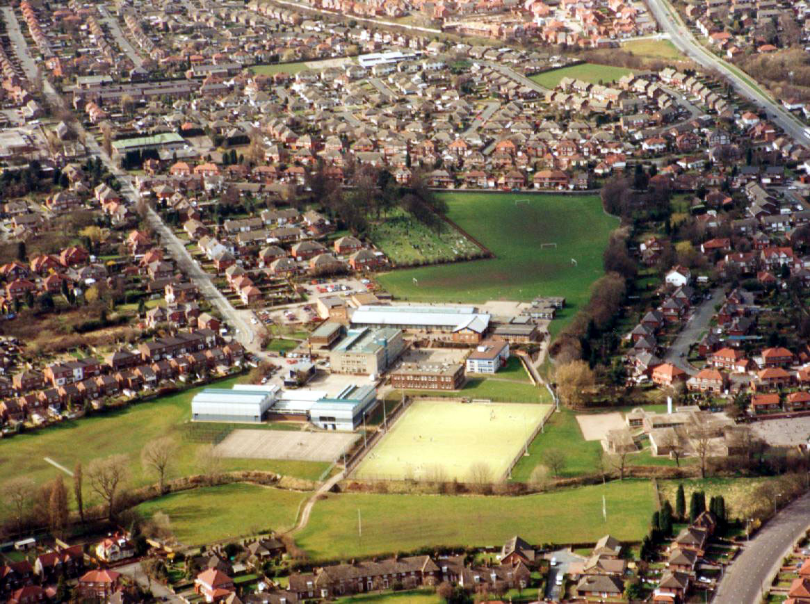
A View of Penketh High School, with Heath Road running towards the top left of the picture. | |
|
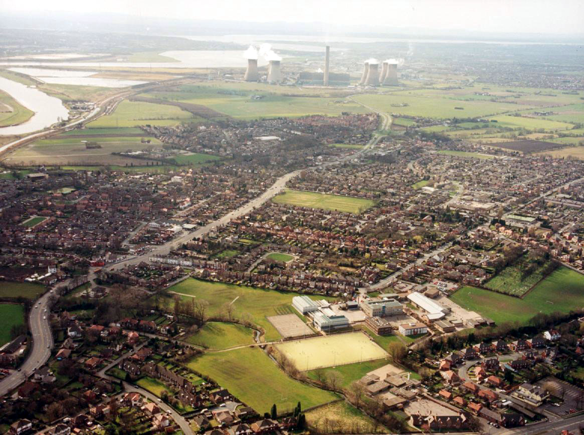
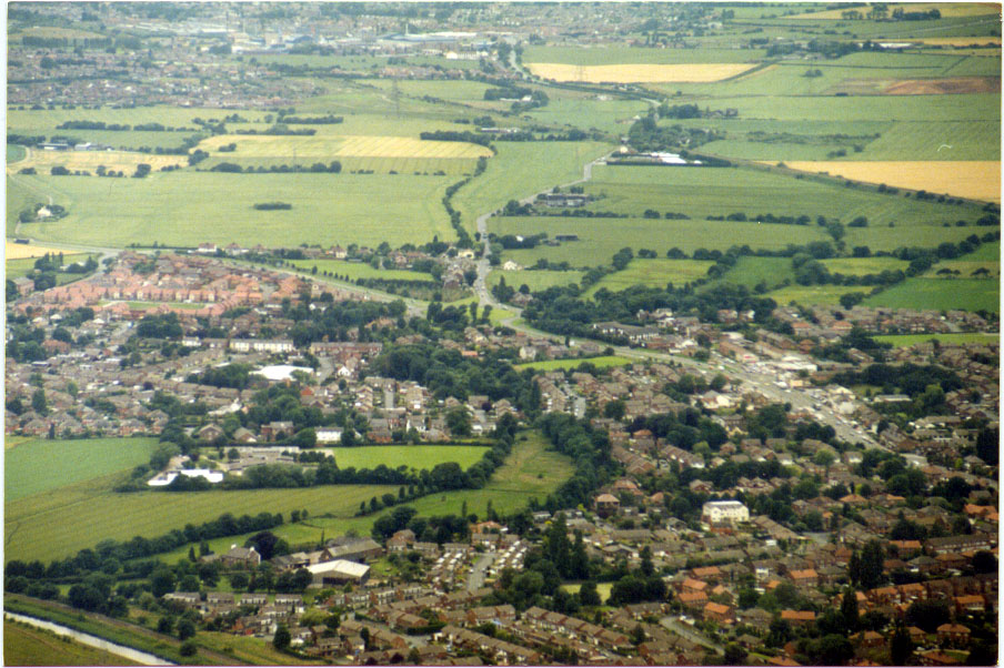
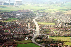
East to South West, Showing Penketh High School in the foreground and Fiddlers Ferry Power Station in the distance, Warrington Road snakes thorough the centre of Penketh. The River Mersey is to the left with the Ferry Tavern. |
| |
 |
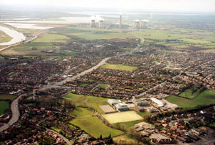
Looking down Penketh's Main Road towards Fiddlers Ferry Power Station. Greystone Recreation Ground is in the centre of the picture to the right of the Main Road. | |
|
A View of Penketh from Gatewarth Nature Reserve, The Sankey Canal is in the bottom left corner. The large White house towards the bottom right of the picture is situated in Hall Nook. |
| |
 |
A View from above Sycamore Lane County Primary School, with Eagle Sports Club fields in the centre the Sankey Way roundabout to the centre left and the River Mersey and Sankey Canal to the top of the picture. | |
|
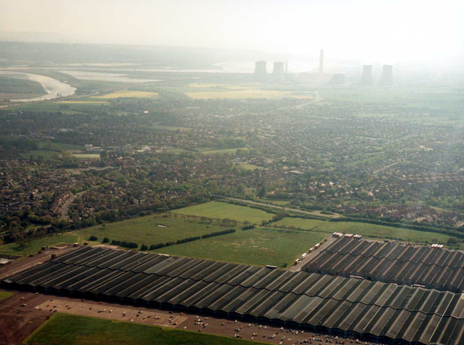
A View across the old Burtonwood Air Base Hanger, now used as a warehouse. |
| |
 |
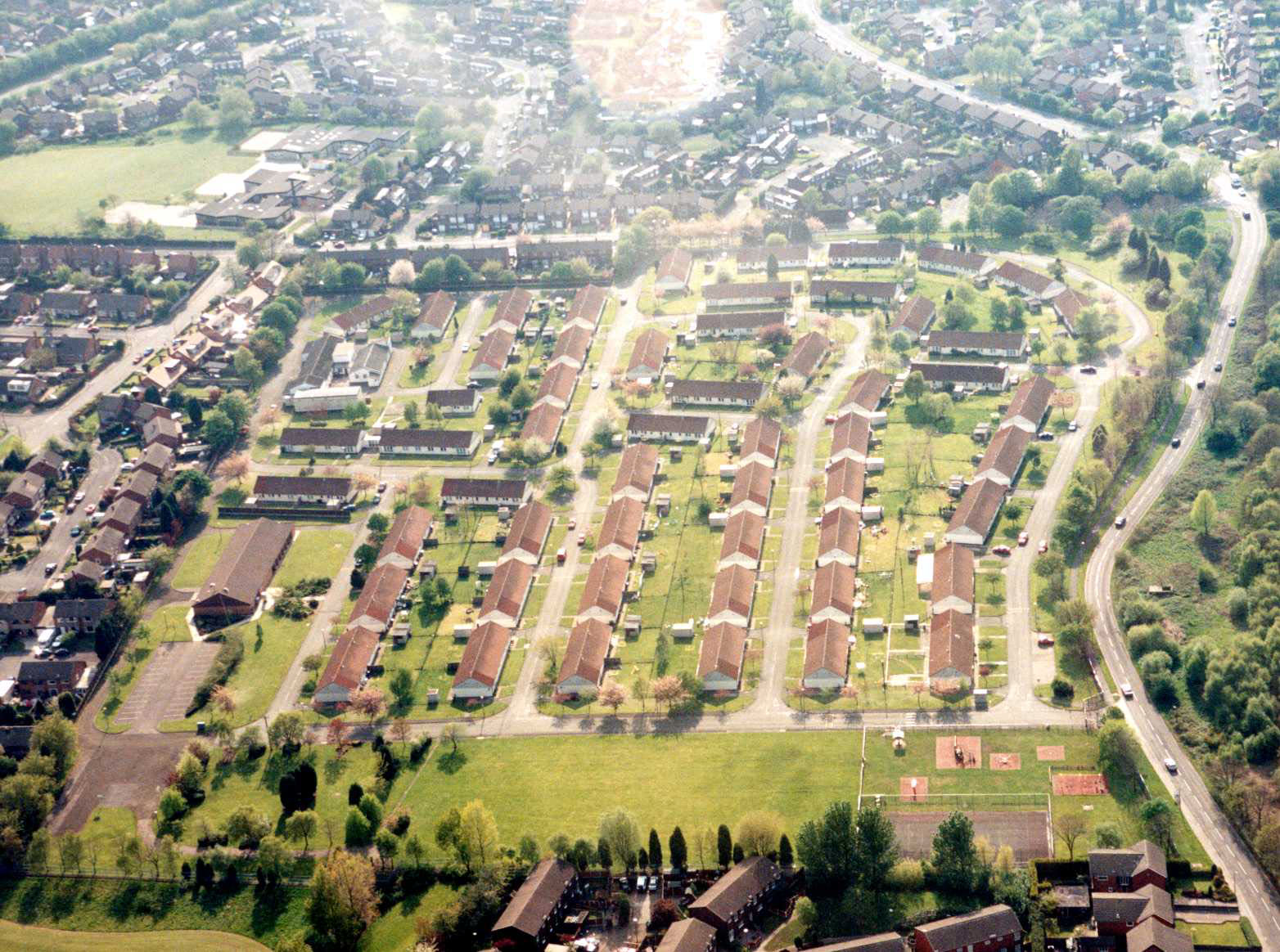
A View from above the old Burtonwood Air Base Married Quarters, now used as housing, do you live there now? Also showing Sycamore Lane County Primary School. | |
|